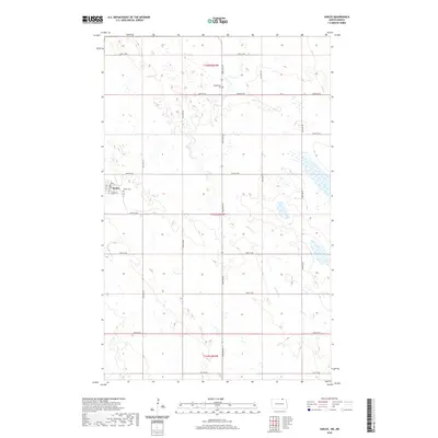
2020 Map of Sarles
USGS Topo · Published 2020About this map
Sarles is positioned as the primary settlement within this northern grain-growing region, situated along the edge of the Canadian border. The community is organized around Main St and Sawyer St, serving as a localized center for the surrounding townships of T164N R64W and T163N R64W. The landscape is defined by the prairie potholes and drainage patterns of Cypress Cr, which wanders through the eastern sections of the quadrangle. For those researching family history, both the Sarles Cem and the more isolated Woodbridge Cem near 108th St NE are significant landmarks. The map illustrates a strictly rectilinear section-line road network, including arterial routes like Townline Rd and Co 6, which facilitate transport across this productive agricultural terrain.
Find a feature on this map
27 named features on this map. Tap any name to fly to it.
Don’t see what you’re looking for? This feature index may not catch every label — zoom into the map to look around manually.
Map Details
Editions of this 2020 Sarles Map
This is the sole edition of this map. No revisions or reprints were ever made.
Other maps of this area

1953 · Devils Lake
USGS Topo · 1:250,000

1956 · Devils Lake
USGS Topo · 1:250,000

1969 · Rock Lake NE
USGS Topo · 1:24,000

1970 · Sarles NE
USGS Topo · 1:24,000

1970 · Calvin
USGS Topo · 1:24,000

1970 · Sarles SE
USGS Topo · 1:24,000

1970 · Sarles
USGS Topo · 1:24,000

1970 · Rock Lake SE
USGS Topo · 1:24,000

1985 · Langdon
USGS Topo · 1:100,000

1985 · Rock Lake
USGS Topo · 1:100,000