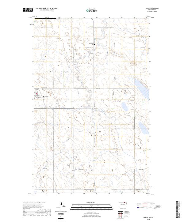
2024 Map of Sarles
USGS Topo · Published 2024About this map
The small community of Sarles sits directly on the international border between North Dakota and Canada, anchoring this 2024 landscape in northern Cavalier County. The terrain is defined by the prairie pothole region, where numerous small wetlands and drainage features like Cypress Creek meander through a grid of section-line roads such as Townline Rd and 109th St NE. This environment is preserved in multiple sectors of the Cavalier County Waterfowl Production Area, reflecting the area's importance as a migratory bird habitat within the Great Plains.
Find a feature on this map
29 named features on this map. Tap any name to fly to it.
Don’t see what you’re looking for? This feature index may not catch every label — zoom into the map to look around manually.
Map Details
Editions of this 2024 Sarles Map
This is the sole edition of this map. No revisions or reprints were ever made.
Other maps of this area

1953 · Devils Lake
USGS Topo · 1:250,000

1956 · Devils Lake
USGS Topo · 1:250,000

1969 · Rock Lake NE
USGS Topo · 1:24,000

1970 · Sarles NE
USGS Topo · 1:24,000

1970 · Calvin
USGS Topo · 1:24,000

1970 · Sarles SE
USGS Topo · 1:24,000

1970 · Sarles
USGS Topo · 1:24,000

1970 · Rock Lake SE
USGS Topo · 1:24,000

1985 · Langdon
USGS Topo · 1:100,000

1985 · Rock Lake
USGS Topo · 1:100,000