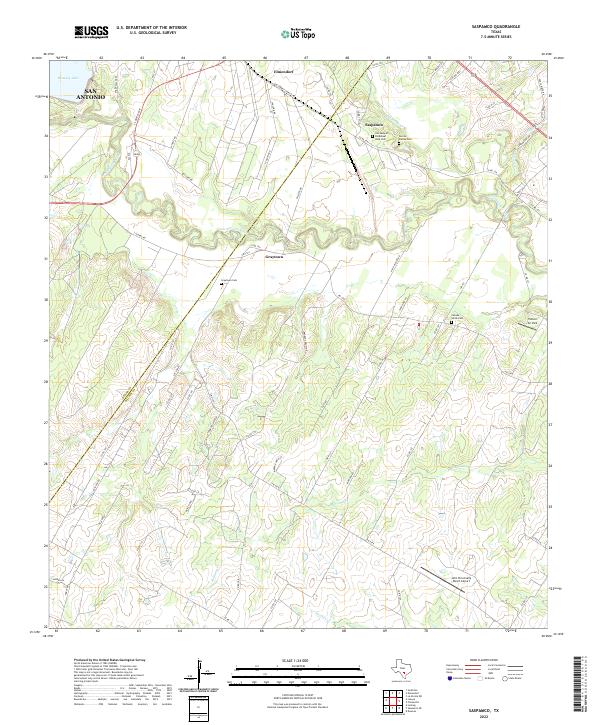
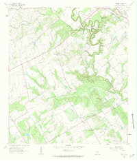
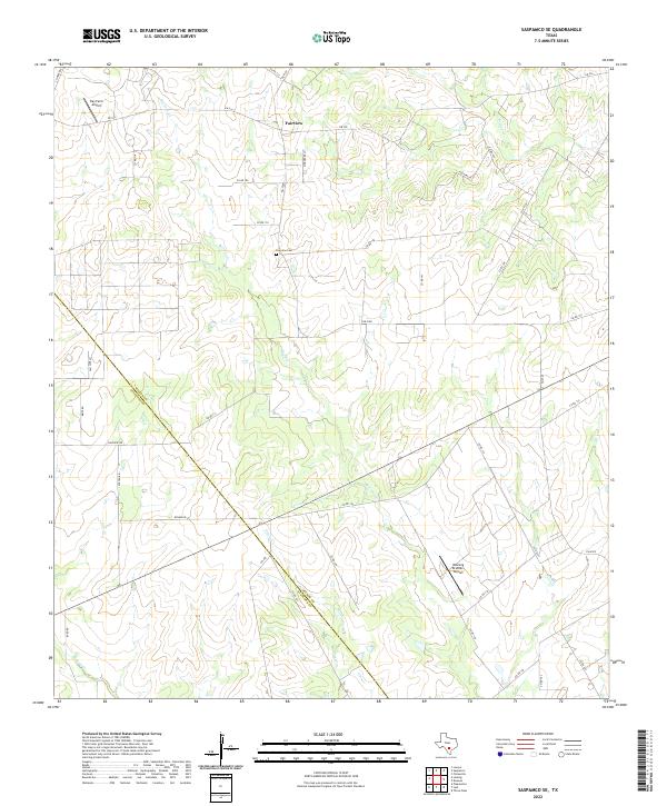
2022 Map of Saspamco
USGS Topo · Published 2022This historical map portrays the area of Saspamco in 2022, primarily covering Wilson County as well as portions of Bexar County. Featuring a scale of 1:24000, this map provides a highly detailed snapshot of the terrain, roads, buildings, counties, and historical landmarks in the Saspamco region at the time. Published in 2022, it is the sole known edition of this map.
Map Details
Editions of this 2022 Saspamco Map
This is the sole edition of this map. No revisions or reprints were ever made.
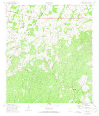
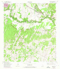
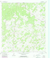
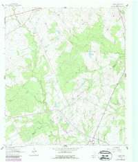
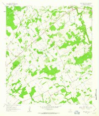
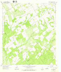
Historical Maps of Graytown Through Time
17 maps found
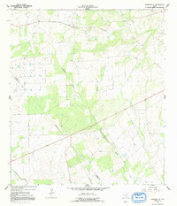
1958 La Vernia SW
Wilson County, TX
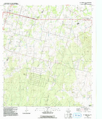
1958 Saspamco
Wilson County, TX
1961 Alum
Wilson County, TX
1961 Dewees
Wilson County, TX
1961 Gillett
Wilson County, TX
1961 Marcelinas Hills
Wilson County, TX
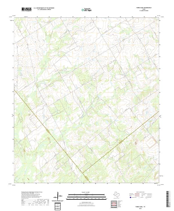
1961 Three Oaks
Wilson County, TX
1964 Saspamco SE
Wilson County, TX
1992 La Vernia SW
Wilson County, TX
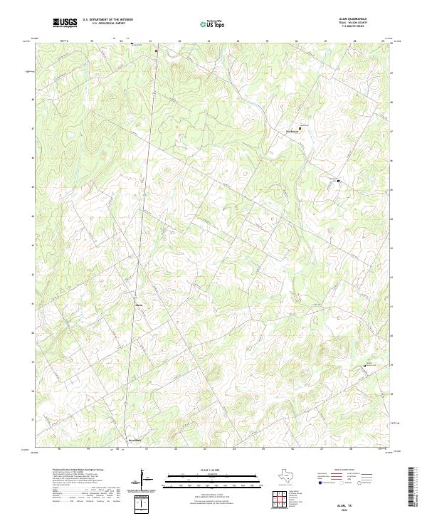
2022 Alum
Wilson County, TX
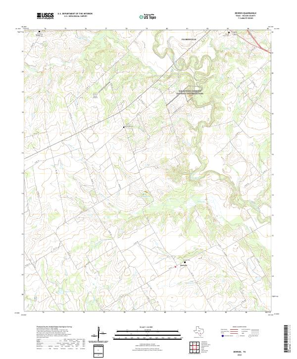
2022 Dewees
Wilson County, TX
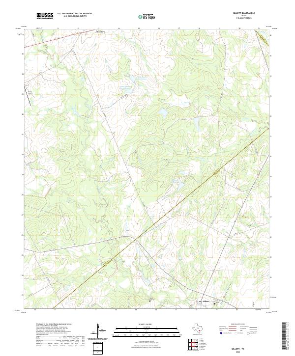
2022 Gillett
Wilson County, TX
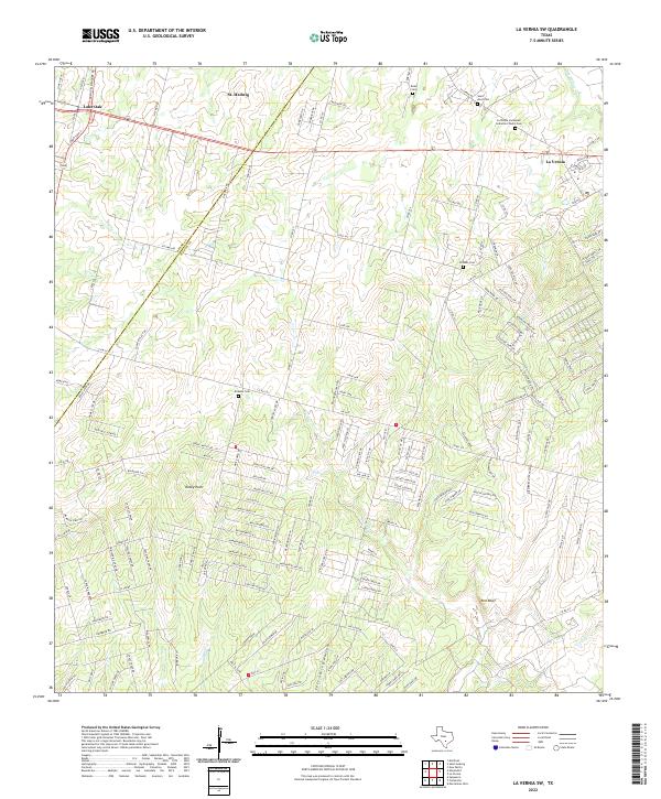
2022 La Vernia SW
Wilson County, TX
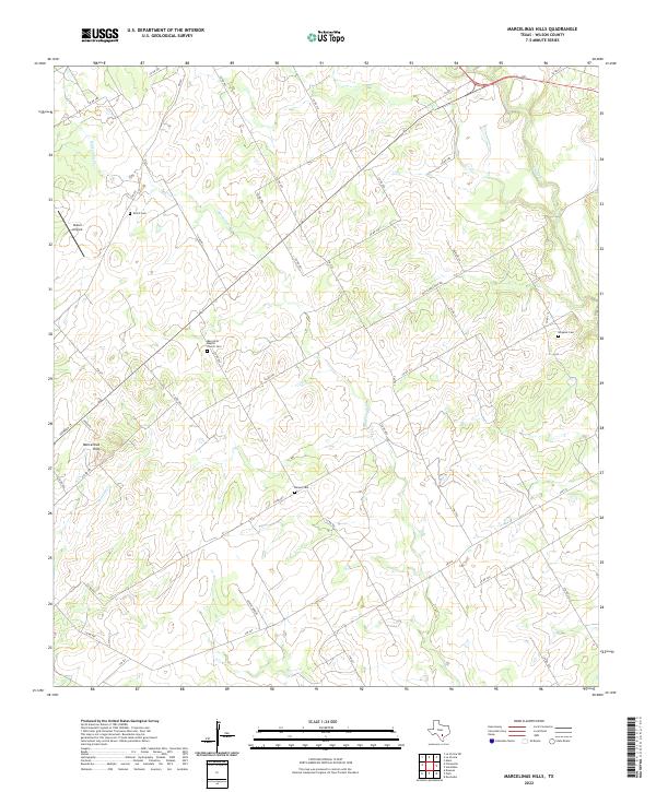
2022 Marcelinas Hills
Wilson County, TX
2022 Saspamco SE
Wilson County, TX
2022 Saspamco
Wilson County, TX
2022 Three Oaks
Wilson County, TX