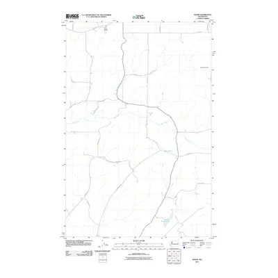
2011 Map of Sassin
USGS Topo · Published 2011About this map
Edwall Cemetery and Rockdale Cemetery anchor this portion of Lincoln County, marking the long-standing community presence in an area defined by agricultural grid roads and natural drainage patterns. The landscape is characterized by the winding course of Rock Creek, which travels across the central terrain, joined by smaller tributaries like Hampton Creek. These waterways provide a stark contrast to the straight-line geometry of the local road network, which includes named corridors such as Schirr Rd and Ringwood Rd N.
Find a feature on this map
27 named features on this map. Tap any name to fly to it.
Don’t see what you’re looking for? This feature index may not catch every label — zoom into the map to look around manually.
Map Details
Editions of this 2011 Sassin Map
This is the sole edition of this map. No revisions or reprints were ever made.
Other maps of this area

1945 · Reardan
USGS Topo · 1:62,500

1953 · Reardan
USGS Topo · 1:62,500

1953 · Ritzville
USGS Topo · 1:250,000

1954 · Sprague
USGS Topo · 1:62,500

1955 · Spokane
USGS Topo · 1:250,000

1958 · Spokane
USGS Topo · 1:250,000

1959 · Ritzville
USGS Topo · 1:250,000

1965 · Ritzville
USGS Topo · 1:250,000

1969 · Sprague Lake
USGS Topo · 1:24,000

1969 · Omans
USGS Topo · 1:24,000