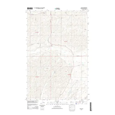
2014 Map of Sassin
USGS Topo · Published 2014About this map
Sassin and its surrounding agricultural lands are defined by a network of drainage ways and section-line roads in this Lincoln County survey. The landscape is marked by the passage of Hampton Cr and Rock Cr, which carve through the undulating topography. Local history is anchored by the Edwall Cem in the northwest and Rockdale Cem in the northeast, serving as significant markers for genealogical research in this part of Washington.
Find a feature on this map
34 named features on this map. Tap any name to fly to it.
Don’t see what you’re looking for? This feature index may not catch every label — zoom into the map to look around manually.
Map Details
Editions of this 2014 Sassin Map
This is the sole edition of this map. No revisions or reprints were ever made.
Other maps of this area

1945 · Reardan
USGS Topo · 1:62,500

1953 · Reardan
USGS Topo · 1:62,500

1953 · Ritzville
USGS Topo · 1:250,000

1954 · Sprague
USGS Topo · 1:62,500

1955 · Spokane
USGS Topo · 1:250,000

1958 · Spokane
USGS Topo · 1:250,000

1959 · Ritzville
USGS Topo · 1:250,000

1965 · Ritzville
USGS Topo · 1:250,000

1969 · Sprague Lake
USGS Topo · 1:24,000

1969 · Omans
USGS Topo · 1:24,000