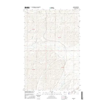
2017 Map of Sassin
USGS Topo · Published 2017About this map
Sassin and its surrounding agricultural lands in Lincoln County are defined by a network of local roads and natural water features. The settlement is linked to the landscape via Sassin Station Rd N, while the broader area is served by thoroughfares such as Wollweber Rd N and Waukon Rd N. Family names are embedded in the geography through road designations like Merkel Rd N and Schirr Rd N, reflecting a long-standing history of rural land ownership and farming.
Find a feature on this map
29 named features on this map. Tap any name to fly to it.
Don’t see what you’re looking for? This feature index may not catch every label — zoom into the map to look around manually.
Map Details
Editions of this 2017 Sassin Map
This is the sole edition of this map. No revisions or reprints were ever made.
Other maps of this area

1945 · Reardan
USGS Topo · 1:62,500

1953 · Reardan
USGS Topo · 1:62,500

1953 · Ritzville
USGS Topo · 1:250,000

1954 · Sprague
USGS Topo · 1:62,500

1955 · Spokane
USGS Topo · 1:250,000

1958 · Spokane
USGS Topo · 1:250,000

1959 · Ritzville
USGS Topo · 1:250,000

1965 · Ritzville
USGS Topo · 1:250,000

1969 · Sprague Lake
USGS Topo · 1:24,000

1969 · Omans
USGS Topo · 1:24,000