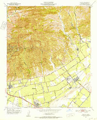
1951 Map of Saticoy
USGS Topo · Published 1952About this map
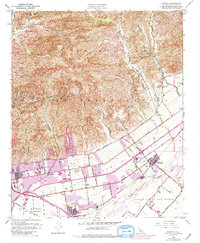
Agricultural lands and industrial developments defined the landscape of Ventura County during the early 1950s, particularly within the historic Ex Mission San Buenaventura grant. The area around Saticoy and West Saticoy showcases a transition from canyon-cut ranching land to structured citrus groves and settlements. Near the Santa Clara River, the Southern Pacific railroad corridor anchors the communities of Montalvo and Saticoy, while the hills to the north are marked by extensive petroleum activity, specifically numerous Oil Wells, oil sumps, and tanks concentrated in Hall Canyon and Sexton Canyon.
Find a feature on this map
62 named features on this map. Tap any name to fly to it.
Don’t see what you’re looking for? This feature index may not catch every label — zoom into the map to look around manually.
Map Details
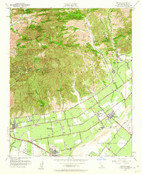
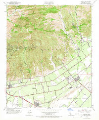
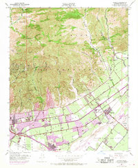
Editions of this 1951 Saticoy Map
5 editions found
Other maps of this area

1903 · Santa Paula
USGS Topo · 1:62,500

1904 · Ventura
USGS Topo · 1:62,500

1904 · Hueneme
USGS Topo · 1:62,500

1941 · Ventura
USGS Topo · 1:62,500

1942 · Santa Paula
USGS Topo · 1:62,500

1942 · Hueneme
USGS Topo · 1:62,500

1943 · Hueneme
USGS Topo · 1:62,500

1947 · Santa Paula
USGS Topo · 1:62,500

1949 · Los Angeles
USGS Topo · 1:250,000

1949 · Oxnard
USGS Topo · 1:24,000