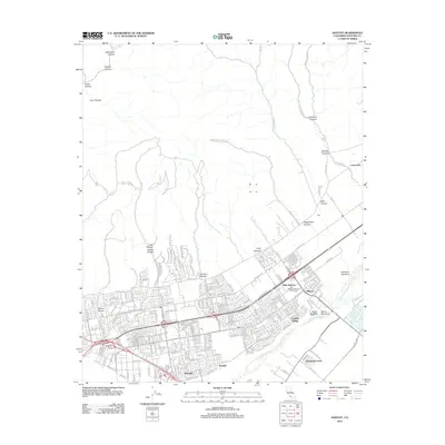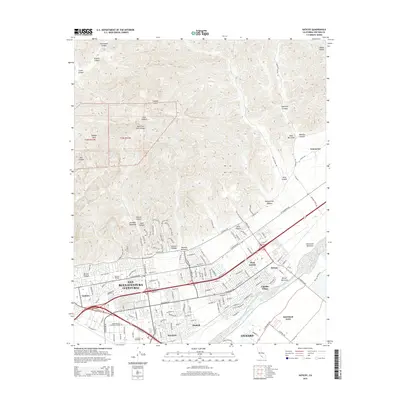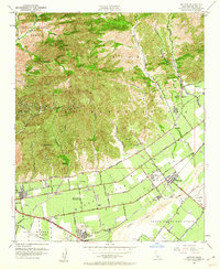
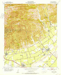
1951 Map of Saticoy
USGS Topo · Published 1960About this map
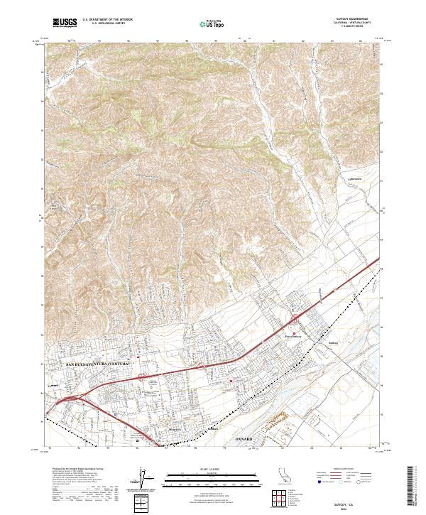
Ex Mission San Buenaventura grant land dominates the northern hills of this mid-century landscape, where rugged canyons like Aliso Canyon and Sexton Canyon drain toward the fertile plains. The agricultural character of the era is evident in the sprawling citrus groves around Limoneira and the intricate network of irrigation ditches and percolation basins flanking the Santa Clara River. The transition from rural ranching to suburban development is underway near Ventura, marked by the appearance of the Drive-in Theatre and several neighborhood schools including Mound School and Cabrillo Sch.
Find a feature on this map
52 named features on this map. Tap any name to fly to it.
Don’t see what you’re looking for? This feature index may not catch every label — zoom into the map to look around manually.
Map Details
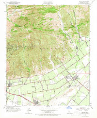
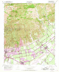
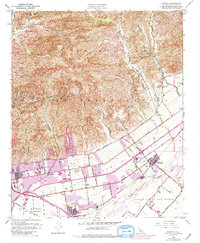
Editions of this 1951 Saticoy Map
5 editions found
Historical Maps of Oxnard Through Time
5 maps found