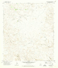
1971 Map of Sauceda Ranch
USGS Topo · Published 1974About this map
Sauceda Ranch and the remote high-desert outposts of Bogles and Madrid anchor this early 1970s topographic study of Presidio County. The landscape is defined by its vital water sources and volcanic geology, evidenced by features such as Lava Escondido Spring, Lava Canyon, and Ojo Escondido. The distribution of scattered springs like Smith House Spring and Horsetrap Spring highlights the importance of reliable water for livestock and settlement in this arid reach of West Texas.
Find a feature on this map
29 named features on this map. Tap any name to fly to it.
Don’t see what you’re looking for? This feature index may not catch every label — zoom into the map to look around manually.
Map Details
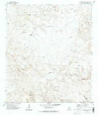
Editions of this 1971 Sauceda Ranch Map
2 editions found
Other maps of this area

1896 · Polvo
USGS Topo · 1:125,000

1896 · Shafter
USGS Topo · 1:125,000

1903 · Terlingua
USGS Topo · 1:125,000

1904 · Terlingua
USGS Topo · 1:125,000

1917 · Tascotal Mesa
USGS Topo · 1:62,500

1931 · Lajitas
USGS Topo · 1:62,500

1944 · Tascotal Mesa
USGS Topo · 1:62,500

1959 · Emory Peak
USGS Topo · 1:250,000

1959 · Presidio
USGS Topo · 1:250,000

1965 · Presidio
USGS Topo · 1:250,000
Featured Places
- Papalote Llano, TX
- Papalote Escondido - Destroyed, TX
- Papalote Seco, TX
- Presidio County, TX
- United States