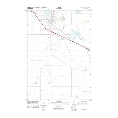
2010 Map of Sauk Centre
USGS Topo · Published 2010About this map
Sauk Centre is the focal point of this Central Minnesota landscape, situated where the Sauk River flows out of the southern end of Sauk Lake. The town's layout reflects a history deeply tied to its literary and civic identity, featuring landmarks such as Sinclair Lewis Ave and the Sauk Centre Post Office. The drainage of the river southward is managed by the Sauk River Dam, while the surrounding prairie is marked by a significant concentration of local burial grounds including Saint Pauls Cemetery, Calvary Cemetery, and the Bohemian Cemetery to the southwest.
Find a feature on this map
44 named features on this map. Tap any name to fly to it.
Don’t see what you’re looking for? This feature index may not catch every label — zoom into the map to look around manually.
Map Details
Editions of this 2010 Sauk Centre Map
This is the sole edition of this map. No revisions or reprints were ever made.
Other maps of this area

1953 · Saint Cloud
USGS Topo · 1:250,000

1957 · Saint Cloud
USGS Topo · 1:250,000

1958 · Saint Cloud
USGS Topo · 1:250,000

1965 · Greenwald
USGS Topo · 1:24,000

1965 · Sauk Centre
USGS Topo · 1:24,000

1965 · Melrose
USGS Topo · 1:24,000

1965 · Padua
USGS Topo · 1:24,000

1965 · Raymond Lake
USGS Topo · 1:24,000

1965 · Elrosa
USGS Topo · 1:24,000

1966 · West Union
USGS Topo · 1:24,000