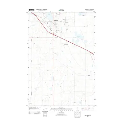
2013 Map of Sauk Centre
USGS Topo · Published 2013About this map
Sauk Centre serves as the focal point of this Stearns County landscape, where the Sauk River flows south from Sauk Lake through the heart of the community. The town's grid is anchored by Sinclair Lewis Ave and Main St S, reflecting its status as a regional hub. Local history and genealogy are well-represented by a high concentration of burial grounds, including Saint Pauls Cem, Calvary Cem, Greenwood Cem, and Oakland Cem clustered to the east, with the Bohemian Cem located further southwest. The map captures the infrastructure of the early 21st century, from the Stearns County Fairgrounds to the Sauk Centre Municipal Airport and the I-94 Raceway. Beyond the municipal limits, the terrain transitions into agricultural land dotted with wetlands and smaller water bodies like McCormick Lake and Isabelle Lake.
Find a feature on this map
56 named features on this map. Tap any name to fly to it.
Don’t see what you’re looking for? This feature index may not catch every label — zoom into the map to look around manually.
Map Details
Editions of this 2013 Sauk Centre Map
This is the sole edition of this map. No revisions or reprints were ever made.
Other maps of this area

1953 · Saint Cloud
USGS Topo · 1:250,000

1957 · Saint Cloud
USGS Topo · 1:250,000

1958 · Saint Cloud
USGS Topo · 1:250,000

1965 · Greenwald
USGS Topo · 1:24,000

1965 · Sauk Centre
USGS Topo · 1:24,000

1965 · Melrose
USGS Topo · 1:24,000

1965 · Padua
USGS Topo · 1:24,000

1965 · Raymond Lake
USGS Topo · 1:24,000

1965 · Elrosa
USGS Topo · 1:24,000

1966 · West Union
USGS Topo · 1:24,000