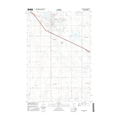
2016 Map of Sauk Centre
USGS Topo · Published 2016About this map
The Sauk River valley defines the character of this central Minnesota landscape, where the city of Sauk Centre serves as a primary hub for commerce and transport. The map reveals the intricate network of local roads and residential streets, such as Yorkshire Rd and Lincoln Loop, that expand outward from the core of the city. Notable for its collection of community landmarks, the area includes several historical burial grounds including Saint Pauls Cem, Greenwood Cem, and the distant Bohemian Cem to the southwest.
Find a feature on this map
61 named features on this map. Tap any name to fly to it.
Don’t see what you’re looking for? This feature index may not catch every label — zoom into the map to look around manually.
Map Details
Editions of this 2016 Sauk Centre Map
This is the sole edition of this map. No revisions or reprints were ever made.
Other maps of this area

1953 · Saint Cloud
USGS Topo · 1:250,000

1957 · Saint Cloud
USGS Topo · 1:250,000

1958 · Saint Cloud
USGS Topo · 1:250,000

1965 · Greenwald
USGS Topo · 1:24,000

1965 · Sauk Centre
USGS Topo · 1:24,000

1965 · Melrose
USGS Topo · 1:24,000

1965 · Padua
USGS Topo · 1:24,000

1965 · Raymond Lake
USGS Topo · 1:24,000

1965 · Elrosa
USGS Topo · 1:24,000

1966 · West Union
USGS Topo · 1:24,000