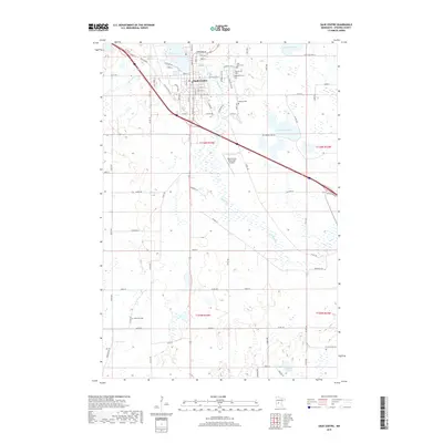
2019 Map of Sauk Centre
USGS Topo · Published 2019About this map
Sauk Centre is the primary settlement on this late-century survey, positioned along the southeastern shore of Sauk Lake. The landscape is defined by the winding course of the Sauk River as it flows southward out of the lake, cutting through a region characterized by numerous glacial depressions and small bodies of water including McCormick Lake, Molitor Lake, and Isabelle Lake. The town's grid is well-established, with named streets like Main St N and Getty St supporting its role as a regional hub.
Find a feature on this map
70 named features on this map. Tap any name to fly to it.
Don’t see what you’re looking for? This feature index may not catch every label — zoom into the map to look around manually.
Map Details
Editions of this 2019 Sauk Centre Map
This is the sole edition of this map. No revisions or reprints were ever made.
Other maps of this area

1953 · Saint Cloud
USGS Topo · 1:250,000

1957 · Saint Cloud
USGS Topo · 1:250,000

1958 · Saint Cloud
USGS Topo · 1:250,000

1965 · Greenwald
USGS Topo · 1:24,000

1965 · Sauk Centre
USGS Topo · 1:24,000

1965 · Melrose
USGS Topo · 1:24,000

1965 · Padua
USGS Topo · 1:24,000

1965 · Raymond Lake
USGS Topo · 1:24,000

1965 · Elrosa
USGS Topo · 1:24,000

1966 · West Union
USGS Topo · 1:24,000