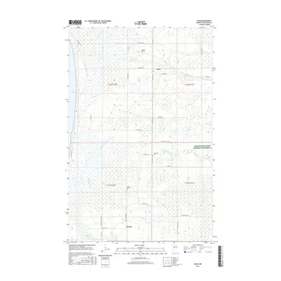
2016 Map of Saum
USGS Topo · Published 2016About this map
The Battle River system and its north and south branches dominate this northern Minnesota landscape, flowing westward toward the expansive waters of Lower Red Lake. This 2016 survey illustrates a rural Beltrami County region where the water network—including the Cormorant River and Arntson Cr—shapes the local geography. The settlement of Saum sits at a crossroads in the northeastern section, while Quiring Township occupies the central and southern reaches.
Find a feature on this map
39 named features on this map. Tap any name to fly to it.
Don’t see what you’re looking for? This feature index may not catch every label — zoom into the map to look around manually.
Map Details
Editions of this 2016 Saum Map
This is the sole edition of this map. No revisions or reprints were ever made.
Other maps of this area

1919 · Fox
USGS Topo · 1:62,500

1919 · Quiring
USGS Topo · 1:62,500

1919 · Ponemah
USGS Topo · 1:62,500

1943 · Ponemah
USGS Topo · 1:62,500

1954 · Bemidji
USGS Topo · 1:250,000

1954 · Roseau
USGS Topo · 1:250,000

1957 · Roseau
USGS Topo · 1:250,000

1957 · Bemidji
USGS Topo · 1:250,000

1958 · Bemidji
USGS Topo · 1:250,000

1958 · Roseau
USGS Topo · 1:250,000