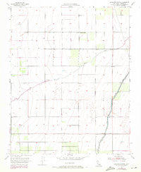
1954 Map of Sausalito School
USGS Topo · Published 1971About this map
Agricultural development and water management define this landscape in the southern San Joaquin Valley during the mid-20th century. The presence of the Friant-Kern Canal, accompanied by a maintenance Levee, illustrates the massive infrastructure projects that transformed Tulare County into a productive farming region. Meandering across the terrain is Deer Creek, providing a natural contrast to the straight-line precision of the irrigation systems and the numerous wells that dot the section lines.
Find a feature on this map
8 named features on this map. Tap any name to fly to it.
Don’t see what you’re looking for? This feature index may not catch every label — zoom into the map to look around manually.
Map Details
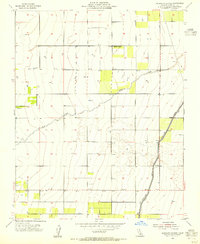
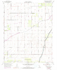
Editions of this 1954 Sausalito School Map
3 editions found
Other maps of this area

1925 · Tipton
USGS Topo · 1:31,680

1928 · Tipton
USGS Topo · 1:31,680

1928 · Woodville
USGS Topo · 1:31,680

1929 · Delano
USGS Topo · 1:31,680

1929 · Sausalito School
USGS Topo · 1:31,680

1929 · Richgrove
USGS Topo · 1:31,680

1929 · Porterville
USGS Topo · 1:31,680

1929 · Pixley
USGS Topo · 1:31,680

1929 · Stone
USGS Topo · 1:31,680

1929 · Ducor
USGS Topo · 1:31,680