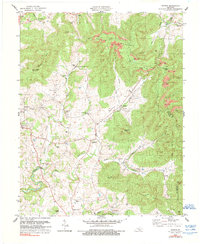
1978 Map of Savage
USGS Topo · Published 1990About this map
Poplar Mountain dominates the northern landscape of this Clinton and Wayne County border region, where steep ridges give way to the agricultural pockets of Duvall Valley Creek. The 1978 topography reveals a dispersed settlement pattern focused around landmarks like Cannons Mill and the village of Savage. Social life in these hollows is anchored by numerous small congregations, including Concord Ch, Oak Grove Ch, and Beach Bottom Ch, which often sit adjacent to family burying grounds such as Savage Cem or the Beaty Cem. Resource extraction is evident in the eastern uplands, where several Mine and Strip Mine operations are noted near the Lookout Tower. The map also traces the winding courses of Koger Creek and Smith Creek, showing the traditional road networks that connect isolated communities like Upchurch and Cartwright.
Find a feature on this map
53 named features on this map. Tap any name to fly to it.
Don’t see what you’re looking for? This feature index may not catch every label — zoom into the map to look around manually.
Map Details
Editions of this 1978 Savage Map
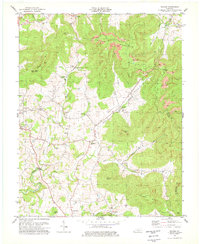
2 editions found
Other maps of this area

1911 · Monticello
USGS Topo · 1:62,500

1914 · Monticello
USGS Topo · 1:62,500

1929 · Byrdstown
USGS Topo · 1:62,500

1934 · Pall Mall
USGS Topo · 1:62,500

1953 · Parnell
USGS Topo · 1:24,000

1953 · Wolf Creek Dam
USGS Topo · 1:24,000

1954 · Cumberland City
USGS Topo · 1:24,000

1954 · Albany
USGS Topo · 1:24,000

1954 · Savage
USGS Topo · 1:24,000

1954 · Powersburg
USGS Topo · 1:24,000