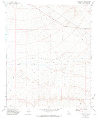
1971 Map of Savahia Peak NE
USGS Topo · Published 1973About this map
Chemehuevi Valley dominates this 1971 landscape, showing the arid expanse of San Bernardino County as it appeared in the early 1970s. The terrain is defined by a series of drainage systems, including the prominent Chemehuevi Wash which cuts centrally through the valley, joined by Gary Wash and West Wash to the south.
Find a feature on this map
8 named features on this map. Tap any name to fly to it.
Don’t see what you’re looking for? This feature index may not catch every label — zoom into the map to look around manually.
Map Details
Editions of this 1971 Savahia Peak NE Map
2 editions found
Other maps of this area

1903 · Needles
USGS Topo · 1:125,000

1904 · Needles Special
USGS Topo · 1:125,000

1911 · Parker
USGS Topo · 1:125,000

1943 · Topock
USGS Topo · 1:62,500

1943 · Whipple Mts.
USGS Topo · 1:62,500

1950 · Topock
USGS Topo · 1:62,500

1950 · Sawtooth Range
USGS Topo · 1:62,500

1950 · Whipple Mts
USGS Topo · 1:62,500

1950 · Savahia Peak
USGS Topo · 1:62,500

1951 · Topock
USGS Topo · 1:62,500