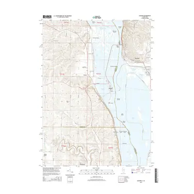
2015 Map of Savanna
USGS Topo · Published 2015About this map
Savanna and Sabula anchor this stretch of the Mississippi River corridor, where the Savanna-Sabula Bridge spans the state line between Illinois and Iowa. The river valley is a complex network of backwaters and islands, including Sweeney Islands, Eldridge Island, and Hubbel Island, alongside inland bodies like Town Lake and Misquakee Lake. This 2015 survey reveals a landscape deeply tied to its rural and riverine roots, with several small named communities such as Samoa, Hauntown, and Teeds Grove dotting the uplands and floodplains.
Find a feature on this map
62 named features on this map. Tap any name to fly to it.
Don’t see what you’re looking for? This feature index may not catch every label — zoom into the map to look around manually.
Map Details
Editions of this 2015 Savanna Map
This is the sole edition of this map. No revisions or reprints were ever made.
Other maps of this area

1891 · Clinton
USGS Topo · 1:62,500

1892 · Goose Lake
USGS Topo · 1:62,500

1892 · Savanna
USGS Topo · 1:62,500

1894 · Goose Lake
USGS Topo · 1:62,500

1894 · Clinton
USGS Topo · 1:62,500

1899 · Clinton
USGS Topo · 1:125,000

1935 · Miles
USGS Topo · 1:62,500

1941 · Miles
USGS Topo · 1:62,500

1952 · Clinton
USGS Topo · 1:62,500

1952 · Savanna
USGS Topo · 1:62,500