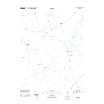
2013 Map of Savedge
USGS Topo · Published 2013About this map
Burrowsville and the surrounding Prince George County landscape are defined by the intricate network of tidal creeks and swamps feeding into the James River. This 2013 survey illustrates a rural Virginia region where historical crossroads like Taylors Corner and Cabin Point still anchor the local geography. The map traces the winding paths of Upper Chippokes Creek and Wards Creek, highlighting the transition from agricultural uplands to the wetland environments of Cypress Swamp and Otterdam Swamp.
Find a feature on this map
48 named features on this map. Tap any name to fly to it.
Don’t see what you’re looking for? This feature index may not catch every label — zoom into the map to look around manually.
Map Details
Editions of this 2013 Savedge Map
This is the sole edition of this map. No revisions or reprints were ever made.
Other maps of this area

1917 · Toano
USGS Topo · 1:62,500

1918 · Charles City
USGS Topo · 1:62,500

1918 · Toano
USGS Topo · 1:62,500

1919 · Surry
USGS Topo · 1:62,500

1919 · Disputanta
USGS Topo · 1:62,500

1943 · Savedge
USGS Topo · 1:31,680

1943 · Disputanta
USGS Topo · 1:31,680

1943 · Richmond
USGS Topo · 1:250,000

1944 · Waverly
USGS Topo · 1:31,680
1944 · Nebletts Mill
USGS Topo · 1:31,680