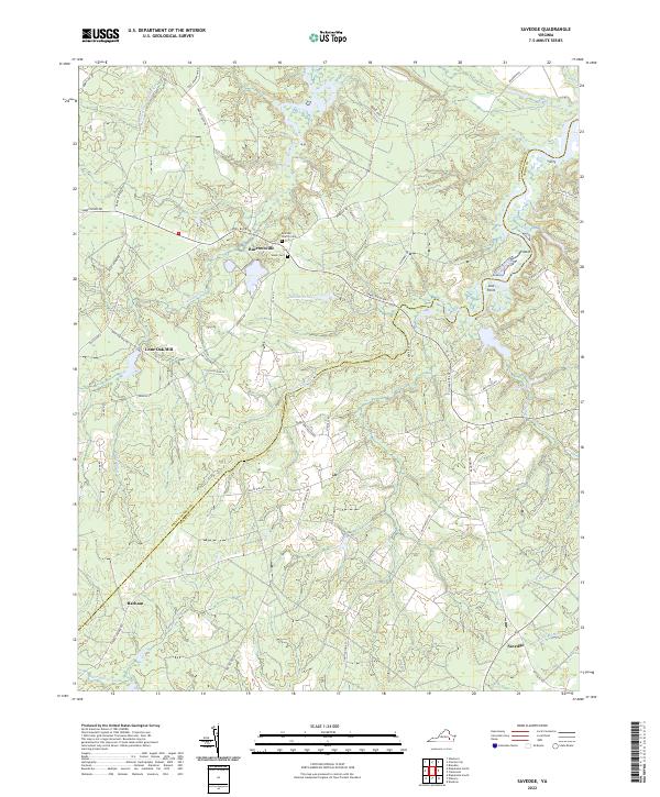
2022 Map of Savedge
USGS Topo · Published 2022About this map
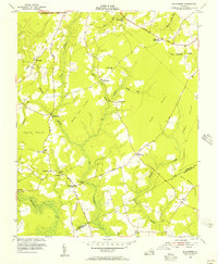
Burrowsville and Savedge anchor this transition between the agricultural uplands and the coastal marshlands of the Tidewater region. The landscape is defined by the winding course of the Upper Chippokes Cr and numerous swampy tributaries including Cypress Swamp and Otterdam Swamp. Local genealogy and land use patterns are preserved in the locations of Brandon Church Cem and Salem Cem, as well as the historical naming of Lone Oak Mill and Barham. Transportation corridors like James River Dr and Colonial Trl W connect these communities, while smaller features like Whelans Pond and Wards Lndg indicate a long history of water-dependent industry and transit. This 2022 survey documents the contemporary boundaries of Prince George and Surry counties amidst a network of rural roads.
Find a feature on this map
49 named features on this map. Tap any name to fly to it.
Don’t see what you’re looking for? This feature index may not catch every label — zoom into the map to look around manually.
Map Details
Editions of this 2022 Savedge Map
This is the sole edition of this map. No revisions or reprints were ever made.
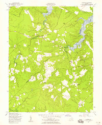
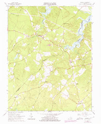
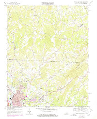
Historical Maps of Lone Oak Mill Through Time
8 maps found