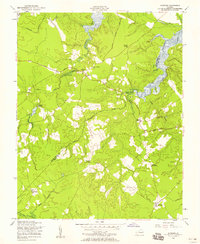
1956 Map of Savedge
USGS Topo · Published 1958About this map
The boundary between Prince George and Surry Counties defines the rural character of this mid-century landscape, where agriculture and traditional industry meet tidal tributaries. Local commerce is anchored by the Lone Oak Grist Mill along the western creeks, while the Colonial Trail serves as a primary artery connecting small crossroads such as Burrowsville and Taylors Corner. The settlement pattern is largely defined by a network of community institutions, including Brandon Ch, Salem Ch, and the Church of All Nations, illustrating the social fabric of these tidewater communities.
Find a feature on this map
23 named features on this map. Tap any name to fly to it.
Don’t see what you’re looking for? This feature index may not catch every label — zoom into the map to look around manually.
Map Details
Editions of this 1956 Savedge Map
This is the sole edition of this map. No revisions or reprints were ever made.
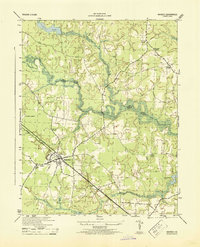
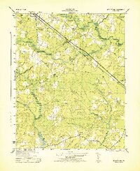
Other maps of this area

1917 · Toano
USGS Topo · 1:62,500

1918 · Charles City
USGS Topo · 1:62,500

1918 · Toano
USGS Topo · 1:62,500

1919 · Surry
USGS Topo · 1:62,500

1919 · Disputanta
USGS Topo · 1:62,500

1943 · Savedge
USGS Topo · 1:31,680

1943 · Disputanta
USGS Topo · 1:31,680

1943 · Richmond
USGS Topo · 1:250,000
1944 · Waverly
USGS Topo · 1:31,680
1944 · Nebletts Mill
USGS Topo · 1:31,680