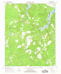
1966 Map of Savedge
USGS Topo · Published 1967About this map
Johnsons Landing sits on the southern banks of the James River as depicted in this mid-1960s coastal Virginia survey. The landscape is defined by the winding course of Wards Creek and the sprawling wetlands of Upper Chippokes Creek, which separate Prince George and Surry counties. Rural crossroads and small settlements like Burrowsville, Cabin Point, and Savedge anchor the interior, connected by a network of state routes and fire trails. Historically significant land tracts such as Flowerdew Hundred Creek appear alongside evidence of local industry, including Lone Oak Mill and various Gravel Pits. Local genealogy and community life are well-documented through several country churches, including Brandon Ch, Salem Ch, and the Church of All Nations, providing a clear record of the area's social fabric before modern development shifted the agricultural character of the region.
Find a feature on this map
29 named features on this map. Tap any name to fly to it.
Don’t see what you’re looking for? This feature index may not catch every label — zoom into the map to look around manually.
Map Details
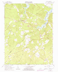
Editions of this 1966 Savedge Map
2 editions found
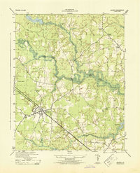
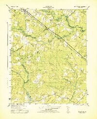
Other maps of this area

1917 · Toano
USGS Topo · 1:62,500

1918 · Charles City
USGS Topo · 1:62,500

1918 · Toano
USGS Topo · 1:62,500

1919 · Surry
USGS Topo · 1:62,500

1919 · Disputanta
USGS Topo · 1:62,500

1943 · Savedge
USGS Topo · 1:31,680

1943 · Disputanta
USGS Topo · 1:31,680

1943 · Richmond
USGS Topo · 1:250,000
1944 · Waverly
USGS Topo · 1:31,680
1944 · Nebletts Mill
USGS Topo · 1:31,680