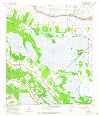
1963 Map of Savoie
USGS Topo · Published 1964About this map
Lafourche Bayou and its surrounding wetlands define this mid-century survey of the Louisiana coastal plain, where narrow strip-settlements follow the elevated natural levees. The community of Savoie sits at the intersection of complex waterway systems, including Grand Bayou and Blue Bayou, illustrating how local geography dictated the location of homesteads and infrastructure in the southern parishes. The landscape is a mix of agricultural plots and extraction activity, notably the Lafourche Crossing Oil and Gas Field, with numerous drill holes scattered across the marshy terrain.
Find a feature on this map
31 named features on this map. Tap any name to fly to it.
Don’t see what you’re looking for? This feature index may not catch every label — zoom into the map to look around manually.
Map Details
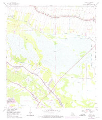
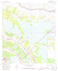
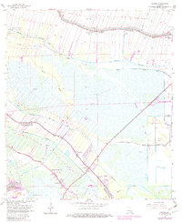
Editions of this 1963 Savoie Map
4 editions found
Other maps of this area

1892 · Lac Des Allemands
USGS Topo · 1:62,500

1892 · Gibson
USGS Topo · 1:62,500

1892 · Houma
USGS Topo · 1:62,500

1892 · Thibodaux
USGS Topo · 1:62,500

1897 · Gibson
USGS Topo · 1:62,500

1932 · Houma SE
USGS Topo · 1:31,680

1932 · Lac Des Allemands SE
USGS Topo · 1:31,680

1932 · Lac Des Allemands SW
USGS Topo · 1:31,680

1932 · Houma SW
USGS Topo · 1:31,680

1932 · Houma NE
USGS Topo · 1:31,680