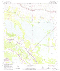
1963 Map of Savoie
USGS Topo · Published 1975About this map
Bayou Lafourche meanders through the heart of this coastal landscape, serving as the primary corridor for settlement and industry during the early 1960s. The map illustrates a distinctive pattern of long, narrow land tracts extending from the bayou, a hallmark of French colonial influence. Community life is centered around landmarks such as St Mary Sch, Bell Ch, and the Third Zion Cem.
Find a feature on this map
32 named features on this map. Tap any name to fly to it.
Don’t see what you’re looking for? This feature index may not catch every label — zoom into the map to look around manually.
Map Details
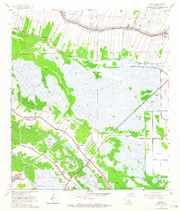
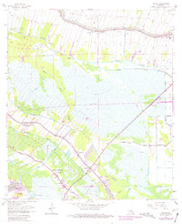
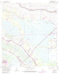
Editions of this 1963 Savoie Map
4 editions found
Other maps of this area

1892 · Lac Des Allemands
USGS Topo · 1:62,500

1892 · Gibson
USGS Topo · 1:62,500

1892 · Houma
USGS Topo · 1:62,500

1892 · Thibodaux
USGS Topo · 1:62,500

1897 · Gibson
USGS Topo · 1:62,500

1932 · Houma SE
USGS Topo · 1:31,680

1932 · Lac Des Allemands SE
USGS Topo · 1:31,680

1932 · Lac Des Allemands SW
USGS Topo · 1:31,680

1932 · Houma SW
USGS Topo · 1:31,680

1932 · Houma NE
USGS Topo · 1:31,680