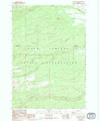
1988 Map of Sawmill Butte
USGS Topo · Published 1994About this map
The Warm Springs Indian Reservation dominates this high-elevation landscape, where the Jefferson and Wasco county line cuts through a complex network of drainages. The topography is defined by the headwaters of several significant waterways, including Shitike Creek and the various branches of Boulder Creek. Evidence of historical activity is found at Old Mill Camp and Mill Flat, situated near the eponymous Sawmill Butte. These labels, combined with the presence of Transmission Lines and various 4wd tracks, reflect a landscape managed for timber and utility infrastructure during the late twentieth century. To the southwest, North Butte rises prominently, anchoring a terrain where steep ridgelines separate the deep canyons of the Middle Fork Boulder Creek and South Fork Boulder Creek.
Find a feature on this map
14 named features on this map. Tap any name to fly to it.
Don’t see what you’re looking for? This feature index may not catch every label — zoom into the map to look around manually.
Map Details
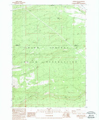
Editions of this 1988 Sawmill Butte Map
2 editions found
Other maps of this area

1927 · Mt. Jefferson
USGS Topo · 1:125,000

1928 · Madras
USGS Topo · 1:125,000

1930 · Mt. Jefferson
USGS Topo · 1:125,000

1931 · Madras
USGS Topo · 1:125,000

1955 · Bend
USGS Topo · 1:250,000

1957 · Bend
USGS Topo · 1:250,000

1958 · Bend
USGS Topo · 1:250,000

1961 · Whitewater River
USGS Topo · 1:62,500

1961 · Fort Butte
USGS Topo · 1:62,500

1962 · Metolius Bench
USGS Topo · 1:24,000