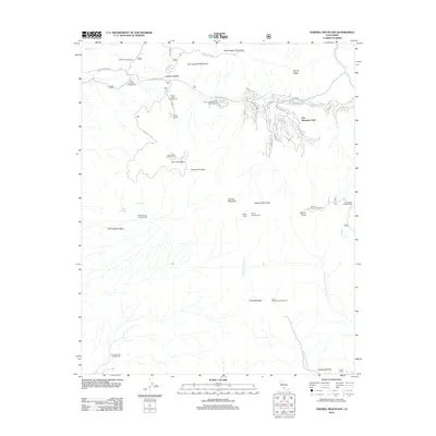
2012 Map of Sawmill Mountain
USGS Topo · Published 2012About this map
Pine Mountain Club serves as the primary residential anchor in this high-altitude landscape of the San Emigdio Mountains. The 2012 survey illustrates a complex network of residential streets such as San Moritz Dr and Zermatt Dr concentrated on the slopes of Tecuya Ridge. This developed pocket is surrounded by a dense concentration of mountain recreation sites and landmarks, including the Condor Observation Tower and Camp Condor.
Find a feature on this map
59 named features on this map. Tap any name to fly to it.
Don’t see what you’re looking for? This feature index may not catch every label — zoom into the map to look around manually.
Map Details
Editions of this 2012 Sawmill Mountain Map
This is the sole edition of this map. No revisions or reprints were ever made.
Other maps of this area

1903 · Mt. Pinos
USGS Topo · 1:125,000

1942 · Eagle Rest Peak
USGS Topo · 1:24,000

1943 · Apache Canyon
USGS Topo · 1:24,000

1943 · San Guillermo
USGS Topo · 1:24,000

1943 · Sawmill Mountain
USGS Topo · 1:24,000

1943 · Santiago Creek
USGS Topo · 1:24,000

1943 · Cuddy Valley
USGS Topo · 1:24,000

1943 · Lockwood Valley
USGS Topo · 1:24,000

1943 · Reyes Peak
USGS Topo · 1:24,000
1944 · San Guillermo
USGS Topo · 1:31,680