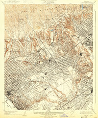
1934 Map of Sawtelle
USGS Topo · Published 1934About this map
Soldiers Home stands at the center of this 1930s landscape, serving as a primary landmark in a region quickly transitioning from ranch lands to an academic and cultural hub. The Univ California at Los Angeles campus is clearly defined near Westwood Village, marking the institutional growth of the Westside. The map reveals the early footprint of the film industry with the Fox Studio complex situated near Westwood Hills, while luxury recreation is evident through a high density of golf courses including the Los Angeles Country Club and Bel Air Country Club.
Find a feature on this map
60 named features on this map. Tap any name to fly to it.
Don’t see what you’re looking for? This feature index may not catch every label — zoom into the map to look around manually.
Map Details
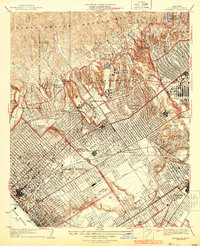
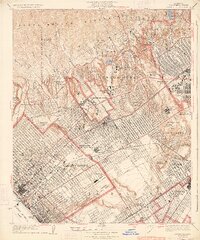
Editions of this 1934 Sawtelle Map
3 editions found
Other maps of this area

1894 · Los Angeles
USGS Topo · 1:62,500

1896 · Redondo
USGS Topo · 1:62,500

1896 · Santa Monica
USGS Topo · 1:62,500

1898 · Santa Monica
USGS Topo · 1:62,500

1900 · Los Angeles
USGS Topo · 1:62,500

1901 · Southern California Sheet No. 1
USGS Topo · 1:250,000

1902 · Santa Monica
USGS Topo · 1:62,500

1903 · Calabasas
USGS Topo · 1:62,500

1903 · Camulos
USGS Topo · 1:125,000

1904 · Southern California Sheet No. 1
USGS Topo · 1:250,000