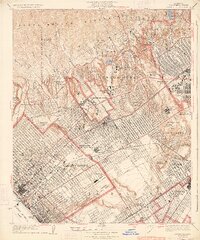
1934 Map of Sawtelle
USGS Topo · Published 1934About this map
The San Jose de Buenos Ayres and Rincon de los Bueyes rancho boundaries still define the land ownership patterns of West Los Angeles in this mid-1930s depiction. The expansion of the University of California at Los Angeles and the rise of Westwood Village anchor the central portion of the map, while the sprawling Soldiers Home serves as a major landmark along Wilshire Boulevard. To the south, the Pacific Electric railway lines connect the residential blocks of Sawtelle and Palms toward Santa Monica. The coastal transition is marked by the Municipal Pier and Crystal Pier along the Santa Monica Bay, as the city begins its ascent into the Santa Monica Mountains canyons. Aviation and entertainment roots are visible through the Municipal Airport and the massive Fox Studio lot.
Find a feature on this map
59 named features on this map. Tap any name to fly to it.
Don’t see what you’re looking for? This feature index may not catch every label — zoom into the map to look around manually.
Map Details
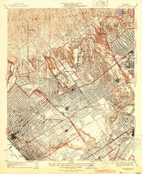
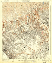
Editions of this 1934 Sawtelle Map
3 editions found
Other maps of this area

1894 · Los Angeles
USGS Topo · 1:62,500

1896 · Redondo
USGS Topo · 1:62,500

1896 · Santa Monica
USGS Topo · 1:62,500

1898 · Santa Monica
USGS Topo · 1:62,500

1900 · Los Angeles
USGS Topo · 1:62,500

1901 · Southern California Sheet No. 1
USGS Topo · 1:250,000

1902 · Santa Monica
USGS Topo · 1:62,500

1903 · Calabasas
USGS Topo · 1:62,500

1903 · Camulos
USGS Topo · 1:125,000

1904 · Southern California Sheet No. 1
USGS Topo · 1:250,000