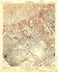
1934 Map of Sawtelle
USGS Topo · Published 1934About this map
Univ California at Los Angeles serves as a modern anchor in this landscape, surrounded by the evolving residential developments of Westwood Village and Bel Air. While the rugged canyons of the Santa Monica Mountains like Stone Canyon and Sepulveda Canyon dominate the northern terrain, the coastal plains to the south reveal an intricate grid of urban growth. The presence of the Soldiers Home and the sprawling Municipal Airport near La Ballona highlights the area's institutional and early aviation significance.
Find a feature on this map
65 named features on this map. Tap any name to fly to it.
Don’t see what you’re looking for? This feature index may not catch every label — zoom into the map to look around manually.
Map Details
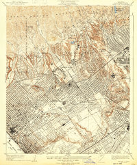
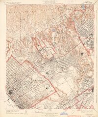
Editions of this 1934 Sawtelle Map
3 editions found
Other maps of this area

1894 · Los Angeles
USGS Topo · 1:62,500

1896 · Redondo
USGS Topo · 1:62,500

1896 · Santa Monica
USGS Topo · 1:62,500

1898 · Santa Monica
USGS Topo · 1:62,500

1900 · Los Angeles
USGS Topo · 1:62,500

1901 · Southern California Sheet No. 1
USGS Topo · 1:250,000

1902 · Santa Monica
USGS Topo · 1:62,500

1903 · Calabasas
USGS Topo · 1:62,500

1903 · Camulos
USGS Topo · 1:125,000

1904 · Southern California Sheet No. 1
USGS Topo · 1:250,000