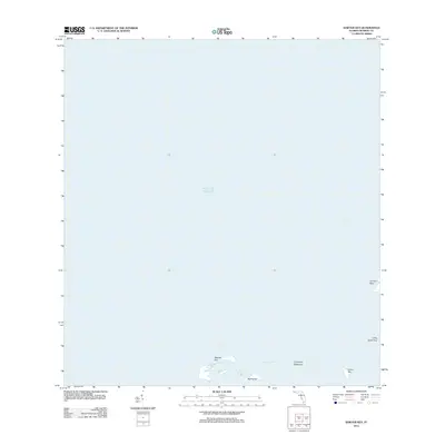
2012 Map of Sawyer Key
USGS Topo · Published 2012About this map
Sawyer Key sits at the heart of this coastal survey, anchoring a sparse archipelago where the Florida Keys meet the open Gulf of Mexico. The landscape is dominated by tidal waterways and mangrove-fringed landforms, such as the Crane Key Mangrove and the scattered Content Keys. This 2012 chart captures the intricate maritime geography of Monroe County just before more modern digital updates, showing the relationship between deep-water passages like the Cudjoe Channel and low-lying features including Little Crane Key and Riding Key. The absence of roads or structures across these keys highlights the protected, natural state of this remote section of the Florida coastline, making it a valuable reference for tracking shoreline changes and coastal morphology in the early twenty-first century.
Find a feature on this map
8 named features on this map. Tap any name to fly to it.
Don’t see what you’re looking for? This feature index may not catch every label — zoom into the map to look around manually.
Map Details
Editions of this 2012 Sawyer Key Map
This is the sole edition of this map. No revisions or reprints were ever made.
Other maps of this area

1921 · Sugar Loaf Key
USGS Topo · 1:62,500

1943 · Snipe Keys
USGS Topo · 1:24,000

1943 · Sugarloaf Key
USGS Topo · 1:24,000
1972 · Sawyer Key
USGS Topo · 1:24,000

1972 · Content Keys
USGS Topo · 1:24,000
1972 · Snipe Keys
USGS Topo · 1:24,000

1972 · Summerland Key
USGS Topo · 1:24,000
1972 · Sugarloaf Key
USGS Topo · 1:24,000

1983 · Key West
USGS Topo · 1:100,000

1989 · Key West
USGS Topo · 1:250,000