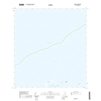
2021 Map of Sawyer Key
USGS Topo · Published 2021About this map
Sawyer Key and the surrounding marine landscape of Monroe County are defined by a remote network of mangrove islands and shallow basins. This coastal survey documents the southern reaches of the Gulf of Mexico, where the Intracoastal Waterway threads through open waters north of the Florida Keys. The map details the intricate shapes of Riding Key, Crane Key, and the dense Crane Key Mangrove, providing a precise record of the shoreline and shoals as they appeared in the early 2020s. For those studying the environmental history of the Keys, the map illustrates the hydrographic relationships between the Cudjoe Channel and the broad Cudjoe Basin, highlighting the natural channels that have historically guided small craft and local fishers through these protected flats.
Find a feature on this map
8 named features on this map. Tap any name to fly to it.
Don’t see what you’re looking for? This feature index may not catch every label — zoom into the map to look around manually.
Map Details
Editions of this 2021 Sawyer Key Map
This is the sole edition of this map. No revisions or reprints were ever made.
Other maps of this area

1921 · Sugar Loaf Key
USGS Topo · 1:62,500

1943 · Snipe Keys
USGS Topo · 1:24,000

1943 · Sugarloaf Key
USGS Topo · 1:24,000
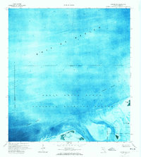
1972 · Sawyer Key
USGS Topo · 1:24,000

1972 · Content Keys
USGS Topo · 1:24,000
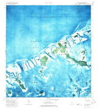
1972 · Snipe Keys
USGS Topo · 1:24,000

1972 · Summerland Key
USGS Topo · 1:24,000
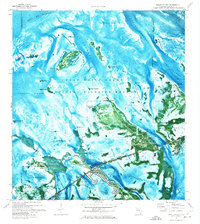
1972 · Sugarloaf Key
USGS Topo · 1:24,000

1983 · Key West
USGS Topo · 1:100,000

1989 · Key West
USGS Topo · 1:250,000