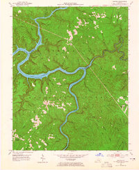
1952 Map of Sawyer
USGS Topo · Published 1965About this map
Cumberland National Forest dominates this mid-century landscape where the Rockcastle River converges with the Cumberland River, creating the deep waters of Lake Cumberland. The settlement at Sawyer serves as a small hub for the surrounding ridges, which are dotted with the essential infrastructure of rural Kentucky life, including the Pond Sch and Young Chapel.
Find a feature on this map
71 named features on this map. Tap any name to fly to it.
Don’t see what you’re looking for? This feature index may not catch every label — zoom into the map to look around manually.
Map Details
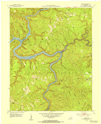
Editions of this 1952 Sawyer Map
2 editions found
Other maps of this area

1890 · Williamsburg
USGS Topo · 1:125,000

1893 · London
USGS Topo · 1:125,000

1894 · Williamsburg
USGS Topo · 1:125,000

1897 · London
USGS Topo · 1:125,000

1952 · Wofford
USGS Topo · 1:24,000

1952 · Hail
USGS Topo · 1:24,000

1952 · London SW
USGS Topo · 1:24,000

1952 · Vox
USGS Topo · 1:24,000

1952 · Ano
USGS Topo · 1:24,000

1952 · Wiborg
USGS Topo · 1:24,000