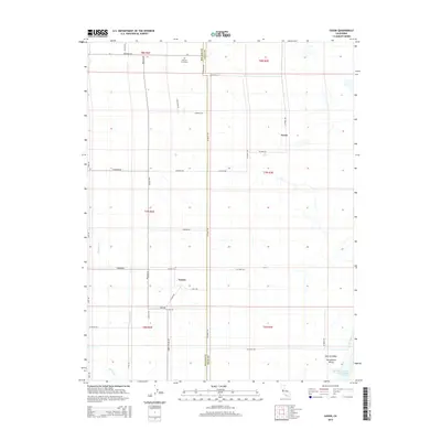
2015 Map of Saxon
USGS Topo · Published 2015About this map
The Tremont Cemetery serves as a historic anchor for this portion of the Sacramento Valley, situated just south of Tremont Rd along the Solano and Yolo County line. This landscape is defined by the grid-iron road network and irrigation infrastructure typical of the Central Valley agricultural region. The small settlements of Yolano and Saxon sit along these rural thoroughfares, connected by routes like Midway Rd and Co Road 104. Water management is central to the area's geography, visible in the engineering of the Sacramento River Deep Water Ship Channel and the adjacent Toe Drain in the southeast corner. Natural drainage remains via Dudley Creek and Dickson Cr, which wind through the low-lying fields near Sikes Rd.
Find a feature on this map
41 named features on this map. Tap any name to fly to it.
Don’t see what you’re looking for? This feature index may not catch every label — zoom into the map to look around manually.
Map Details
Editions of this 2015 Saxon Map
This is the sole edition of this map. No revisions or reprints were ever made.
Other maps of this area

1907 · Woodland
USGS Topo · 1:62,500

1907 · Davisville
USGS Topo · 1:62,500

1908 · Vacaville
USGS Topo · 1:62,500

1908 · Courtland
USGS Topo · 1:62,500

1915 · Swingle
USGS Topo · 1:31,680

1915 · Merritt
USGS Topo · 1:31,680

1916 · Dixon
USGS Topo · 1:31,680

1916 · Cache Slough
USGS Topo · 1:31,680
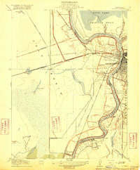
1916 · Lovdal
USGS Topo · 1:31,680

1916 · Vorden
USGS Topo · 1:31,680