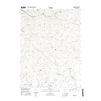
2016 Map of Saxonburg
USGS Topo · Published 2016About this map
Saxonburg anchors the southern portion of this Butler County landscape, characterized by its traditional borough layout and the waters of Lake Saxony. The map documents a deeply rooted rural infrastructure of family and parish landmarks, with numerous sacred sites including Saint Michael Cem, Saint Marys Cem, and B'nai Abraham Cem dotting the hillsides between small settlements like Hannahstown and Jefferson Center. The drainage patterns of Thorn Cr and Little Buffalo Run define the varied topography, influencing the placement of early industry at sites like Frazier Mill. From the crossroads at Herman to the residential pockets of Meadowood and Vogleyville, the map provides a look at the enduring community names and rural roads that have connected these Pennsylvania uplands for generations.
Find a feature on this map
136 named features on this map. Tap any name to fly to it.
Don’t see what you’re looking for? This feature index may not catch every label — zoom into the map to look around manually.
Map Details
Editions of this 2016 Saxonburg Map
This is the sole edition of this map. No revisions or reprints were ever made.
Other maps of this area

1900 · Kittanning
USGS Topo · 1:62,500

1902 · Kittanning
USGS Topo · 1:62,500

1907 · Freeport
USGS Topo · 1:62,500

1908 · New Kensington
USGS Topo · 1:62,500

1909 · Freeport
USGS Topo · 1:62,500

1909 · Butler
USGS Topo · 1:62,500

1910 · New Kensington
USGS Topo · 1:62,500

1911 · Butler
USGS Topo · 1:62,500

1950 · Valencia
USGS Topo · 1:24,000

1953 · Pittsburgh
USGS Topo · 1:250,000