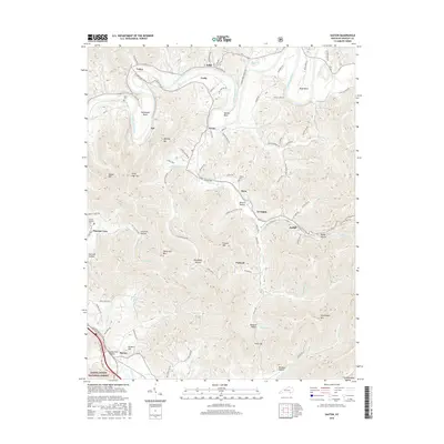
2016 Map of Saxton
USGS Topo · Published 2016About this map
The Cumberland River carves several distinct loops across this Whitley County landscape, including Horseshoe Bend, Maiden Bend, and Boyd Bend. These river meanders are bordered by prominent peaks such as Bowling Mtn and Taylor Mtn, which define the narrow valleys where local life took root. Small settlements like Verne, Dixie, and Nevisdale are connected by a network of winding roads, including Maiden Bend Rd and Powers Hollow Rd, reflecting a traditional Appalachian settlement pattern dictated by the steep topography.
Find a feature on this map
96 named features on this map. Tap any name to fly to it.
Don’t see what you’re looking for? This feature index may not catch every label — zoom into the map to look around manually.
Map Details
Editions of this 2016 Saxton Map
This is the sole edition of this map. No revisions or reprints were ever made.
Other maps of this area

1886 · Cumberland Gap
USGS Topo · 1:125,000

1888 · Cumberland Gap
USGS Topo · 1:125,000

1890 · Williamsburg
USGS Topo · 1:125,000

1891 · Cumberland Gap
USGS Topo · 1:125,000

1894 · Williamsburg
USGS Topo · 1:125,000

1952 · Wofford
USGS Topo · 1:24,000

1952 · Barbourville
USGS Topo · 1:24,000

1952 · Saxton
USGS Topo · 1:24,000

1952 · Rockholds
USGS Topo · 1:24,000

1952 · Williamsburg
USGS Topo · 1:24,000