
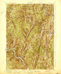
1933 Map of Saxtons River
USGS Topo · Published 1933About this map
The West River and Saxtons River valleys define the settlement patterns of this Windham County landscape during the early 1930s. Small village centers like Grafton and Townshend serve as hubs for a network of rural schoolhouses, such as the Walker Sch and Pettengill Sch, which are dispersed across the upland terrain. The map captures a moment when local industry and transport were closely tied to these waterways, evident in named points like Brockway Mills and Bartonsville.
Find a feature on this map
93 named features on this map. Tap any name to fly to it.
Don’t see what you’re looking for? This feature index may not catch every label — zoom into the map to look around manually.
Map Details
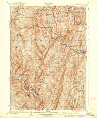
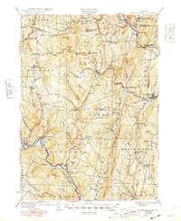
Editions of this 1933 Saxtons River Map
4 editions found
Other maps of this area

1889 · Wilmington
USGS Topo · 1:62,500

1891 · Wilmington
USGS Topo · 1:62,500

1891 · Brattleboro
USGS Topo · 1:62,500

1893 · Wallingford
USGS Topo · 1:62,500

1893 · Brattleboro
USGS Topo · 1:62,500

1894 · Londonderry
USGS Topo · 1:62,500

1898 · Keene
USGS Topo · 1:62,500

1899 · Londonderry
USGS Topo · 1:62,500

1899 · Wilmington
USGS Topo · 1:62,500

1926 · Claremont
USGS Topo · 1:62,500