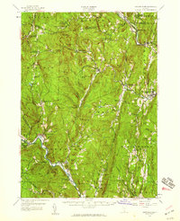
1957 Map of Saxtons River
USGS Topo · Published 1959About this map
State Geologist Charles G. Doll oversaw the update of this southeastern Vermont landscape, where the Rutland Railroad traces the northern valley of the Williams River. The terrain is defined by the steep drainage basins of the Saxtons River and the West River, which carve through the Green Mountains to support a network of small upland villages. Higher elevations like Bear Hill and Windmill Mountain overlook a series of tight-knit settlements, including Grafton, Athens, and Brookline. Local education and heritage are well-documented through scattered landmarks such as the Easton Sch and various family burial grounds like Burgess Cem. The presence of a Quarry near North Windham and a Gravel Pit near Bartonsville points to the area's mid-century extractive industries, while protected lands like Townshend State Forest mark the region's commitment to timber and conservation.
Find a feature on this map
89 named features on this map. Tap any name to fly to it.
Don’t see what you’re looking for? This feature index may not catch every label — zoom into the map to look around manually.
Map Details
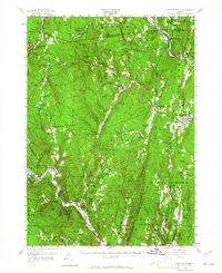
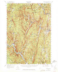
Editions of this 1957 Saxtons River Map
3 editions found
Other maps of this area

1889 · Wilmington
USGS Topo · 1:62,500

1891 · Wilmington
USGS Topo · 1:62,500

1891 · Brattleboro
USGS Topo · 1:62,500

1893 · Wallingford
USGS Topo · 1:62,500

1893 · Brattleboro
USGS Topo · 1:62,500

1894 · Londonderry
USGS Topo · 1:62,500

1898 · Keene
USGS Topo · 1:62,500

1899 · Londonderry
USGS Topo · 1:62,500

1899 · Wilmington
USGS Topo · 1:62,500

1926 · Claremont
USGS Topo · 1:62,500