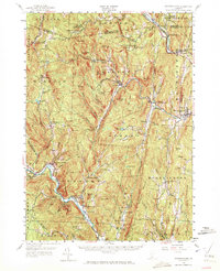
1957 Map of Saxtons River
USGS Topo · Published 1972About this map
The Williams River and Saxtons River valleys define the rugged geography of this Windham County landscape, where small hamlets are connected by winding riverside roads and the Rutland and White River RR. The village of Grafton sits at a major confluence of branches, serving as a central hub for the surrounding hills. To the south, Townshend and West Townshend follow the curve of the West River, highlighting a settlement pattern driven by Vermont's narrow valley floors and the steep grades of features like Bald Mtn and Windmill Mountain.
Find a feature on this map
101 named features on this map. Tap any name to fly to it.
Don’t see what you’re looking for? This feature index may not catch every label — zoom into the map to look around manually.
Map Details
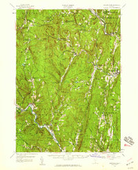
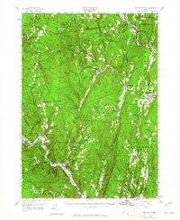
Editions of this 1957 Saxtons River Map
3 editions found
Other maps of this area

1889 · Wilmington
USGS Topo · 1:62,500

1891 · Wilmington
USGS Topo · 1:62,500

1891 · Brattleboro
USGS Topo · 1:62,500

1893 · Wallingford
USGS Topo · 1:62,500

1893 · Brattleboro
USGS Topo · 1:62,500

1894 · Londonderry
USGS Topo · 1:62,500

1898 · Keene
USGS Topo · 1:62,500

1899 · Londonderry
USGS Topo · 1:62,500

1899 · Wilmington
USGS Topo · 1:62,500

1926 · Claremont
USGS Topo · 1:62,500