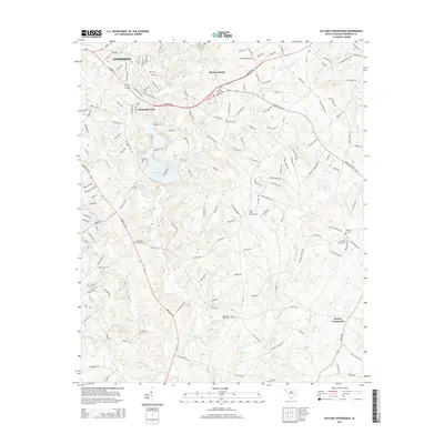
2014 Map of Saylors Crossroads
USGS Topo · Published 2014About this map
Broadway Lake serves as a central landmark in this 2014 survey of the landscape east of Anderson. The terrain is defined by a dense network of tributaries including Neals Cr, Hencoop Creek, and the Rocky River, which feed into the larger reservoir. This modern topographic record captures the transition from the expanding residential developments of Meadow Brook and Normandy Park near the city to the more rural, community-centered crossroads to the southeast. Genealogists and local historians will find significant value in the numerous recorded burial grounds and houses of worship that anchor the area, such as Bethlehem Methodist Cem and the Ebenezer Methodist Cem. The map illustrates how late-20th-century suburban growth follows established corridors like the Belton Hwy, while traditional agricultural and community hubs like Saylors Crossroads maintain their distinct geographic identity.
Find a feature on this map
170 named features on this map. Tap any name to fly to it.
Don’t see what you’re looking for? This feature index may not catch every label — zoom into the map to look around manually.
Map Details
Editions of this 2014 Saylors Crossroads Map
This is the sole edition of this map. No revisions or reprints were ever made.
Other maps of this area

1888 · Pickens
USGS Topo · 1:125,000

1892 · Abbeville
USGS Topo · 1:125,000

1893 · Elberton
USGS Topo · 1:125,000

1894 · Pickens
USGS Topo · 1:125,000

1954 · Greenville
USGS Topo · 1:250,000

1957 · Anderson
USGS Topo · 1:62,500

1957 · Williamston
USGS Topo · 1:62,500

1958 · Greenville
USGS Topo · 1:250,000

1964 · Iva
USGS Topo · 1:24,000

1964 · Antreville
USGS Topo · 1:24,000