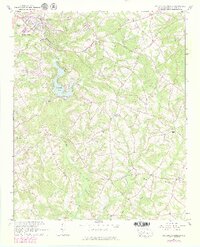
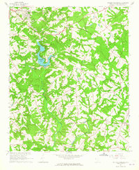
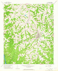
1964 Map of Saylors Crossroads
USGS Topo · Published 1979About this map
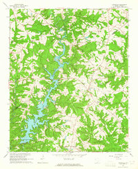
Broadway Lake serves as a central landmark in this 1960s landscape, with recreation areas like Pine Lake Golf Club, Muldrow Park, and Allen Park hugging its shores. The map captures the southeastern expansion of Anderson and the community of Belhaven just as modern infrastructure, including the Southern railroad and several sewage disposal sites, began to overlay the older agrarian patterns.
Find a feature on this map
38 named features on this map. Tap any name to fly to it.
Don’t see what you’re looking for? This feature index may not catch every label — zoom into the map to look around manually.
Map Details
Editions of this 1964 Saylors Crossroads Map
2 editions found
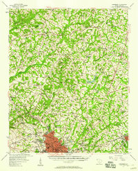
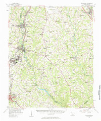
Other maps of this area

1888 · Pickens
USGS Topo · 1:125,000

1892 · Abbeville
USGS Topo · 1:125,000

1893 · Elberton
USGS Topo · 1:125,000

1894 · Pickens
USGS Topo · 1:125,000

1954 · Greenville
USGS Topo · 1:250,000
1957 · Anderson
USGS Topo · 1:62,500
1957 · Williamston
USGS Topo · 1:62,500

1958 · Greenville
USGS Topo · 1:250,000
1964 · Iva
USGS Topo · 1:24,000
1964 · Antreville
USGS Topo · 1:24,000