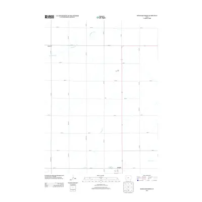
2013 Map of Schaller North
USGS Topo · Published 2013About this map
Schaller serves as the primary hub at the southern edge of this western Iowa landscape, where a precise grid of rural avenues and numbered streets defines the agricultural territory. The northern outskirts of the town give way to the headwaters of several drainage systems, including the southward-flowing Halfway Cr and the eastern reaches of the Boyer River. To the northwest, the Little Maple River meanders across the prairie, passing near the settlement of Hanover and the intersection of 630th St and 30th Ave. The map documents specialized agricultural operations like the Stille Turkey Farm, situated east of 50th Ave. This survey illustrates the modern layout of Sac County's rural infrastructure, where local roads such as 660th St and named thoroughfares like Esther Ave connect isolated farmsteads and small crossroads communities such as Blain.
Find a feature on this map
31 named features on this map. Tap any name to fly to it.
Don’t see what you’re looking for? This feature index may not catch every label — zoom into the map to look around manually.
Map Details
Editions of this 2013 Schaller North Map
This is the sole edition of this map. No revisions or reprints were ever made.
Other maps of this area

1954 · Fort Dodge
USGS Topo · 1:250,000

1957 · Fort Dodge
USGS Topo · 1:250,000

1958 · Fort Dodge
USGS Topo · 1:250,000

1967 · Ida Grove NW
USGS Topo · 1:24,000

1969 · Aurelia
USGS Topo · 1:24,000

1969 · Galva
USGS Topo · 1:24,000

1979 · Lakeside
USGS Topo · 1:24,000

1979 · Storm Lake
USGS Topo · 1:24,000

1979 · Alta
USGS Topo · 1:24,000

1979 · Schaller North
USGS Topo · 1:24,000