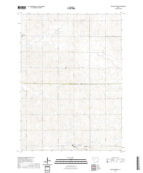
2022 Map of Schaller North
USGS Topo · Published 2022About this map
The boundary between Buena Vista and Sac Counties divides this agricultural landscape, where the town of Schaller sits at the southern edge of the survey. The terrain is defined by the winding paths of several watercourses, including the Little Maple River in the north and the Boyer River in the southeast corner. A systematic grid of section roads, such as Co Hwy M27 and Co Hwy N27, provides access to numerous family farms and local burial grounds that anchor the rural community.
Find a feature on this map
43 named features on this map. Tap any name to fly to it.
Don’t see what you’re looking for? This feature index may not catch every label — zoom into the map to look around manually.
Map Details
Editions of this 2022 Schaller North Map
This is the sole edition of this map. No revisions or reprints were ever made.
Other maps of this area

1954 · Fort Dodge
USGS Topo · 1:250,000

1957 · Fort Dodge
USGS Topo · 1:250,000

1958 · Fort Dodge
USGS Topo · 1:250,000

1967 · Ida Grove NW
USGS Topo · 1:24,000

1969 · Aurelia
USGS Topo · 1:24,000

1969 · Galva
USGS Topo · 1:24,000

1979 · Lakeside
USGS Topo · 1:24,000

1979 · Storm Lake
USGS Topo · 1:24,000

1979 · Alta
USGS Topo · 1:24,000

1979 · Schaller North
USGS Topo · 1:24,000