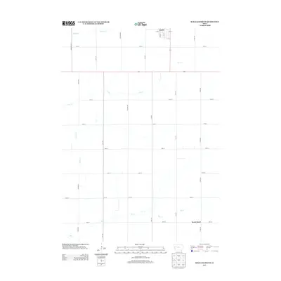
2013 Map of Schaller South
USGS Topo · Published 2013About this map
Schaller serves as the primary hub at the northern edge of this Sac County landscape, where the street grid of S Main St and Berwick St gives way to a sprawling section-line road network. The terrain is defined by the subtle drainage of several waterways, including Halfway Cr, Silver Cr, and S Silver Cr, which carve gentle paths through the agricultural allotments. Further south, the settlement of Brook Mount sits near the headwaters of Elk Cr, marking a quiet point of interest in the rural interior. The map documents a highly organized transition from town life to the expansive open fields of the early 21st century, with thoroughfares like Cory Ave and Bettin Ave maintaining the connectivity of the Iowa prairie.
Find a feature on this map
31 named features on this map. Tap any name to fly to it.
Don’t see what you’re looking for? This feature index may not catch every label — zoom into the map to look around manually.
Map Details
Editions of this 2013 Schaller South Map
This is the sole edition of this map. No revisions or reprints were ever made.
Other maps of this area

1954 · Fort Dodge
USGS Topo · 1:250,000

1957 · Fort Dodge
USGS Topo · 1:250,000

1958 · Fort Dodge
USGS Topo · 1:250,000

1967 · Ida Grove
USGS Topo · 1:24,000

1967 · Ida Grove NW
USGS Topo · 1:24,000

1969 · Galva
USGS Topo · 1:24,000

1979 · Lakeside
USGS Topo · 1:24,000

1979 · Schaller North
USGS Topo · 1:24,000

1980 · Odebolt East
USGS Topo · 1:24,000

1980 · Early
USGS Topo · 1:24,000