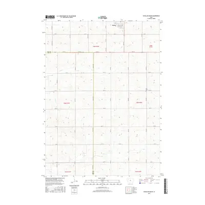
2015 Map of Schaller South
USGS Topo · Published 2015About this map
Schaller serves as the primary municipal anchor at the northern edge of this Sac County landscape, where the town's grid is defined by streets like S Main St and S Dundas St. The surrounding terrain is a quintessential Iowa agricultural expanse, partitioned by a rigorous section-line road network including Pioneer Ave and Dean Ave. This 2015 survey illustrates the persistent rural structure of the region, where the primary topographic interruptions are the drainage basins of Silver Creek and South Silver Creek. A notable point of interest for genealogists and local historians is the Cook Center Cemetery, situated along 240th St near Esther Ave. The map also captures the administrative transition between Sac and Ida counties, with the border running north-south through the western sections along Co Rd M31.
Find a feature on this map
42 named features on this map. Tap any name to fly to it.
Don’t see what you’re looking for? This feature index may not catch every label — zoom into the map to look around manually.
Map Details
Editions of this 2015 Schaller South Map
This is the sole edition of this map. No revisions or reprints were ever made.
Other maps of this area

1954 · Fort Dodge
USGS Topo · 1:250,000

1957 · Fort Dodge
USGS Topo · 1:250,000

1958 · Fort Dodge
USGS Topo · 1:250,000

1967 · Ida Grove
USGS Topo · 1:24,000

1967 · Ida Grove NW
USGS Topo · 1:24,000

1969 · Galva
USGS Topo · 1:24,000

1979 · Lakeside
USGS Topo · 1:24,000

1979 · Schaller North
USGS Topo · 1:24,000

1980 · Odebolt East
USGS Topo · 1:24,000

1980 · Early
USGS Topo · 1:24,000