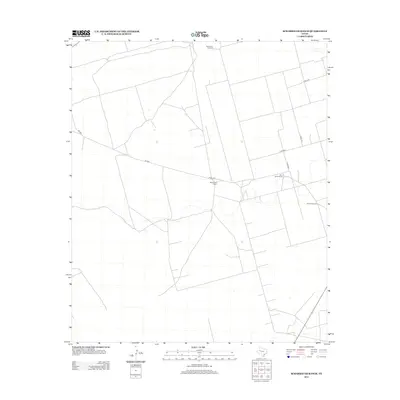
2012 Map of Scharbauer Ranch
USGS Topo · Published 2012About this map
Scharbauer Ranch and the nearby Old L Seven Ranch define this landscape of the Texas Permian Basin, where ranching operations rely on scattered water sources across the arid plains. A sparse network of county roads, including Co Rd 4750 and Co Rd 4800, connects these remote outposts. The essential infrastructure of these working lands is highlighted by the presence of Stepherson Windmill and Falkner Windmill, which serve as vital landmarks and survival points in the open terrain. This topography illustrates the organized spatial division of large-scale Texas ranching, where vast tracts are partitioned by surveyed section lines and occasional unpaved routes like Ne 9501.
Find a feature on this map
10 named features on this map. Tap any name to fly to it.
Don’t see what you’re looking for? This feature index may not catch every label — zoom into the map to look around manually.
Map Details
Editions of this 2012 Scharbauer Ranch Map
This is the sole edition of this map. No revisions or reprints were ever made.
Other maps of this area

1954 · Hobbs
USGS Topo · 1:250,000

1958 · Hobbs
USGS Topo · 1:250,000

1966 · Wolcott Ranch
USGS Topo · 1:24,000

1966 · Flynt Ranch
USGS Topo · 1:24,000

1966 · Scharbauer Ranch
USGS Topo · 1:24,000

1966 · Bird Ranch
USGS Topo · 1:24,000

1970 · Patricia SW
USGS Topo · 1:24,000

1970 · Patricia
USGS Topo · 1:24,000

1970 · McKenzie Lake SE
USGS Topo · 1:24,000

1971 · Five Wells Ranch SE
USGS Topo · 1:24,000