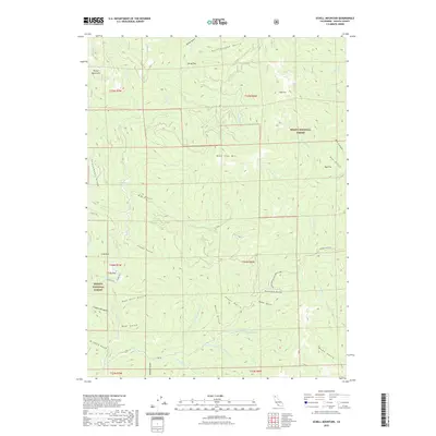
2022 Map of Schell Mountain
USGS Topo · Published 2022About this map
Whiskeytown-Shasta-Trinity NRA and the high elevations of the Trinity Mountains define this landscape in western Shasta County. The terrain is characterized by steep peaks such as Schell Mtn and Bohemotash Mtn, and narrow gulches like Stottard Gulch and Rattlesnake Gulch. Rare level ground appears at Gilroy Flat and Doe Flat, while the settlement at Cosy Dell marks one of the few human outposts in this heavily forested area. The map illustrates a complex network of watercourses, including the Modesto Fork and Clear Creek, that drain into the larger regional watershed. These drainages, often named for early settlers or topographical features like Al Smith Gulch and Red Hill Gulch, highlight the remote and topographical nature of the Shasta National Forest and Trinity National Forest.
Find a feature on this map
53 named features on this map. Tap any name to fly to it.
Don’t see what you’re looking for? This feature index may not catch every label — zoom into the map to look around manually.
Map Details
Editions of this 2022 Schell Mountain Map
This is the sole edition of this map. No revisions or reprints were ever made.
Other maps of this area

1890 · Red Bluff
USGS Topo · 1:250,000

1894 · Red Bluff
USGS Topo · 1:250,000

1901 · Redding
USGS Topo · 1:125,000

1913 · Weaverville
USGS Topo · 1:125,000

1944 · Redding
USGS Topo · 1:62,500

1944 · French Gulch
USGS Topo · 1:62,500

1946 · Lamoine
USGS Topo · 1:62,500

1946 · Redding
USGS Topo · 1:62,500

1948 · French Gulch
USGS Topo · 1:62,500

1950 · Schell Mtn
USGS Topo · 1:62,500