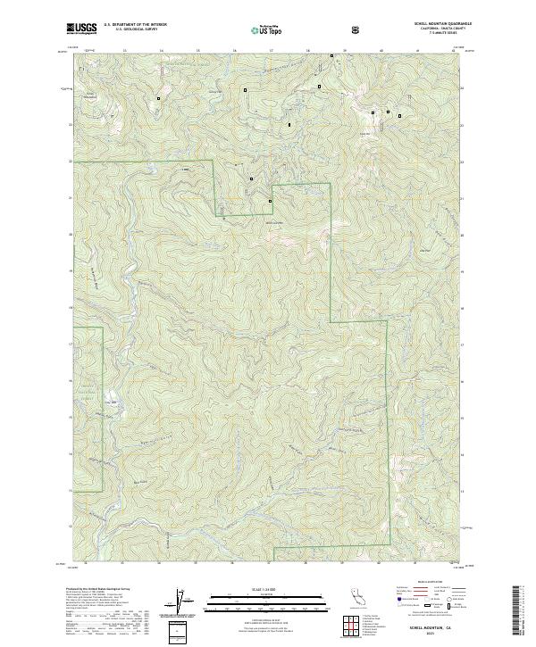
2023 Map of Schell Mountain
USGS Topo · Published 2023About this map
The Trinity National Forest and Shasta National Forest converge in this high-elevation landscape within the Trinity Mountains. The terrain is characterized by a dense network of gulches and creeks feeding into the larger drainage systems of Clear Creek and Big Creek. Evidence of small-scale settlement or camps appears at Cosy Dell, while naming patterns across the map suggest a history of local exploration and livestock grazing at places like Gilroy Flat, Doe Flat, and Wild Cow Mtn.
Find a feature on this map
50 named features on this map. Tap any name to fly to it.
Don’t see what you’re looking for? This feature index may not catch every label — zoom into the map to look around manually.
Map Details
Editions of this 2023 Schell Mountain Map
This is the sole edition of this map. No revisions or reprints were ever made.
Other maps of this area

1890 · Red Bluff
USGS Topo · 1:250,000

1894 · Red Bluff
USGS Topo · 1:250,000

1901 · Redding
USGS Topo · 1:125,000

1913 · Weaverville
USGS Topo · 1:125,000

1944 · Redding
USGS Topo · 1:62,500

1944 · French Gulch
USGS Topo · 1:62,500

1946 · Lamoine
USGS Topo · 1:62,500

1946 · Redding
USGS Topo · 1:62,500

1948 · French Gulch
USGS Topo · 1:62,500

1950 · Schell Mtn
USGS Topo · 1:62,500