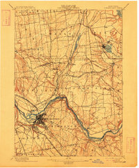
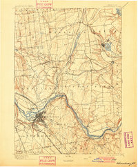
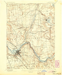
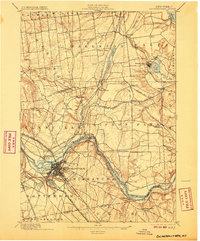
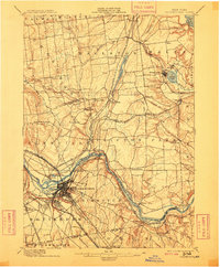
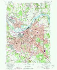
1898 Map of Schenectady
USGS Topo · Published 1912About this map
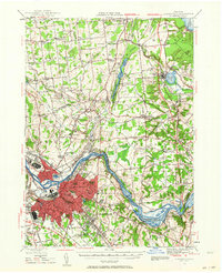
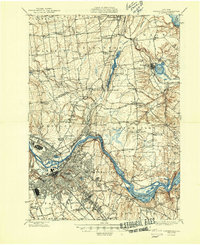
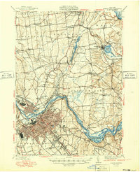
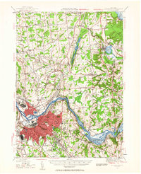
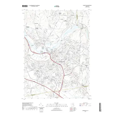
The Mohawk River serves as the industrial and logistical spine of this region, anchored by the burgeoning city of Schenectady. This 1890s-era landscape reveals an intricate transport network where the Erie Canal runs parallel to heavy rail lines like the New York Central and Hudson River Railroad and the Fitchburg Railroad. The convergence of these routes near the Aqueduct and Rexford Flats highlights the era's reliance on water and rail for commerce.
Find a feature on this map
70 named features on this map. Tap any name to fly to it.
Don’t see what you’re looking for? This feature index may not catch every label — zoom into the map to look around manually.
Map Details
Editions of this 1898 Schenectady Map
8 editions found

Historical Maps of Colonie Through Time
14 maps found

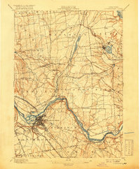
1893 Schenectady
Schenectady County, NY

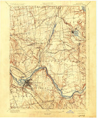
1895 Schenectady
Schenectady County, NY
1898 Schenectady
Schenectady County, NY
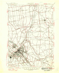
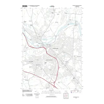
1930 Schenectady
Schenectady County, NY
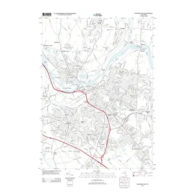
1947 Schenectady
Schenectady County, NY
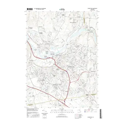
1948 Schenectady
Schenectady County, NY
1949 Schenectady
Schenectady County, NY
1954 Schenectady
Schenectady County, NY
1954 Schenectady
Schenectady County, NY
2010 Schenectady
Schenectady County, NY
2013 Schenectady
Schenectady County, NY
2016 Schenectady
Schenectady County, NY
2019 Schenectady
Schenectady County, NY

2023 Schenectady
Schenectady County, NY