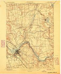
1898 Map of Schenectady
USGS Topo · Published 1907About this map
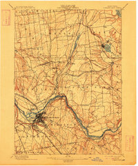
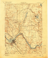
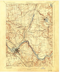
The Schenectady industrial landscape at the end of the nineteenth century is defined by its dense intersection of water and rail transit. The Mohawk River and the adjacent Erie Canal serve as the primary east-west corridor, passing through the urban center and the engineering landmark at Aqueduct. This waterway is shadowed by an extensive rail network, including the New York Central and Hudson River Railroad and the Delaware and Hudson R. R., which radiate north toward Ballston Spa and south toward South Schenectady.
Find a feature on this map
70 named features on this map. Tap any name to fly to it.
Don’t see what you’re looking for? This feature index may not catch every label — zoom into the map to look around manually.
Map Details
Editions of this 1898 Schenectady Map
8 editions found
Other maps of this area

1893 · Cohoes
USGS Topo · 1:62,500

1893 · Troy
USGS Topo · 1:62,500

1893 · Schenectady
USGS Topo · 1:62,500

1893 · Albany
USGS Topo · 1:62,500

1895 · Troy
USGS Topo · 1:62,500

1895 · Cohoes
USGS Topo · 1:62,500

1895 · Albany
USGS Topo · 1:62,500

1895 · Schenectady
USGS Topo · 1:62,500

1895 · Amsterdam
USGS Topo · 1:62,500

1898 · Schenectady
USGS Topo · 1:62,500