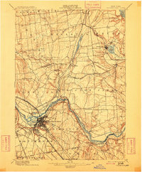
1898 Map of Schenectady
USGS Topo · Published 1909About this map
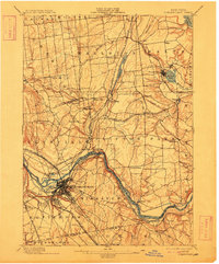
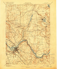
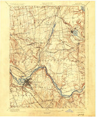
The industrial and transport hub of Schenectady dominates this 1909 reprinting of an earlier 1892 survey, showcasing the city's complex rail network and riverfront orientation. The Mohawk River serves as the primary artery, paralleled by the engineering marvel of the Erie Canal, which crosses the water at the noted Aqueduct near Rexford Flats. This era marks the height of the canal's influence alongside the burgeoning New York Central and Hudson River Railroad and the Fitchburg Railroad. Further north, the landscape transitions into a network of smaller villages and water-driven communities like Ballston Spa and Round Lake. The map preserves the locations of early river crossings such as Vischer Ferry and Dunsbach Ferry, which remained vital links between the rural uplands and the industrial centers of the Mohawk Valley.
Find a feature on this map
69 named features on this map. Tap any name to fly to it.
Don’t see what you’re looking for? This feature index may not catch every label — zoom into the map to look around manually.
Map Details
Editions of this 1898 Schenectady Map
8 editions found
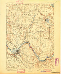
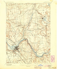
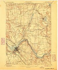
Other maps of this area

1893 · Cohoes
USGS Topo · 1:62,500

1893 · Troy
USGS Topo · 1:62,500

1893 · Schenectady
USGS Topo · 1:62,500

1893 · Albany
USGS Topo · 1:62,500

1895 · Troy
USGS Topo · 1:62,500

1895 · Cohoes
USGS Topo · 1:62,500

1895 · Albany
USGS Topo · 1:62,500

1895 · Schenectady
USGS Topo · 1:62,500

1895 · Amsterdam
USGS Topo · 1:62,500

1898 · Schenectady
USGS Topo · 1:62,500